Quote of the Month:
“Nature gives to every time and season some beauties of its own." - Charles Dickens
“Nature gives to every time and season some beauties of its own." - Charles Dickens
| Location: | Eastern Washington |
| GPS Coordinates: | N 47 31.044 W 119 29.628 |
| Visitor’s Information: |
Discover Pass Required |

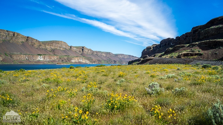
Lake Lenore is a beautiful, 1,670-acre lake that was formed long ago by the Missoula Floods. Lake Lenore or Lenore Lake is located between two famous lakes of the region, between Alkali Lake to the north and Soap Lake to the south.
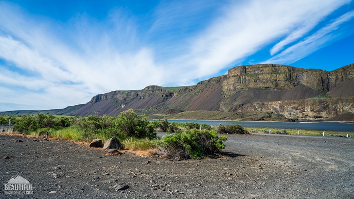
Lake Lenore is very long and narrow. It runs along Washington State Route 17 from the city of Moses Lake to Coulee City.
Lake Lenore offers wonderful recreational opportunities. Fishing is one of the most popular activities here. The lake is famous for very alkaline waters where only Lahontan Cutthroat Trout can live in. The best fishing time is fall. Anglers say that the best way to fish here is from a boat, canoe or float tube.

Another interesting feature of the region is the Lenore Caves. The caves are situated at the northern end of the lake.
They were formed by the plucking of basalt from the walls of the coulees.
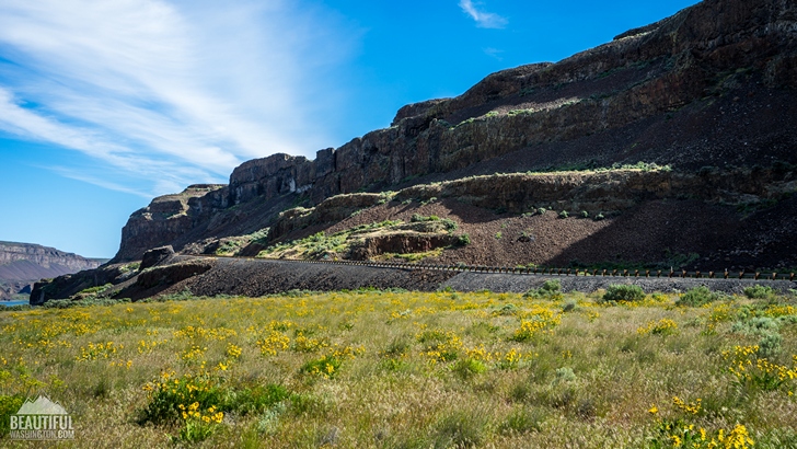
Lenore Lake Caves Trail is a wonderful choice for every hiker, it’s not long, but offers great views of native Eastern Washington scenery as well as the results of Great Missoula flood.

All of seven caves are easily accessible. Later these caves were used by Native Americans as shelters. This area is still used by the Native Americans as a sacred gathering place.
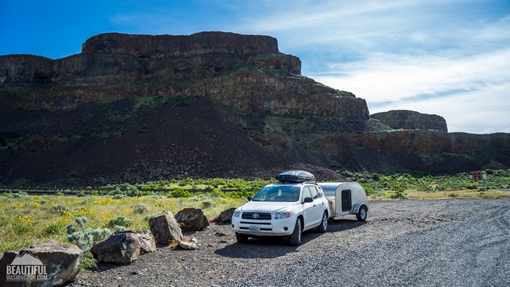
If you want to hike in this area, you need to drive along Lake Lenore on Washington State Route 17 and take a turn-off that will lead you to a parking area where the trail takes its beginning. The parking area has several informational stands that explain the history of the caves and contain general information about the area.

From the parking lot follow the staircase carved in the rock. At the end of the stairs you will need to choose which way to go: to the left or to the right. The path to the right is more developed and well-maintained.
 Lake Lenore 1
Lake Lenore 1
Lake Lenore 1
 Lake Lenore 2
Lake Lenore 2
Lake Lenore 2
 Lake Lenore 3
Lake Lenore 3
Lake Lenore 3
 Lake Lenore 4
Lake Lenore 4
Lake Lenore 4
 Lake Lenore 5
Lake Lenore 5
Lake Lenore 5
 Lake Lenore 6
Lake Lenore 6
Lake Lenore 6
 Lake Lenore 7
Lake Lenore 7
Lake Lenore 7
From I-90
Take Exit 151 for Ephrata/Soap Lake. Drive through Ephrata and onto Soap Lake, taking 281 to Hwy 283 N for 14.8 miles. Continue on Hwy 28 for another 10 miles, then. Turn left (north) onto Hwy 17 and proceed for another 9.6 miles. The Lenore Lake Road comes up quickly, so slow down and turn right onto a graveled road and drive for less than a quarter to a parking lot with room for about 10 cars.
In order to get directions click on the map below:
Photo: Roman Khomlyak
Photo Editing: Alex Mandryko
Information: Marina Petrova
Leave your comment