Quote of the Month:
“Nature gives to every time and season some beauties of its own." - Charles Dickens
“Nature gives to every time and season some beauties of its own." - Charles Dickens
| Location: | Mt. Rainier |
| Highest Point: | 4,929 ft |
| GPS Coordinates: | 46.93872°N 121.86149°W |
| Season: | Summer - Fall |
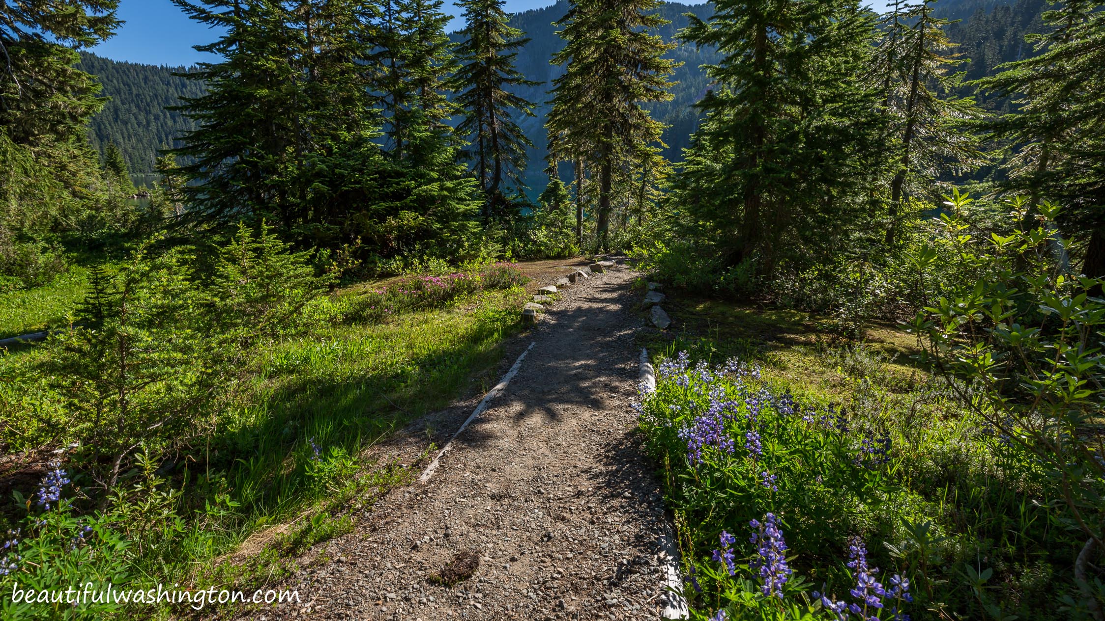
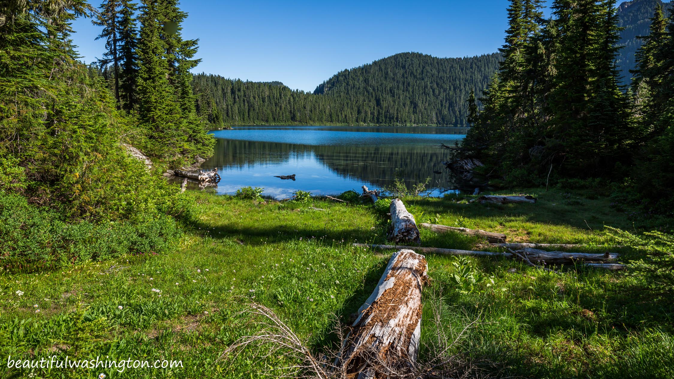
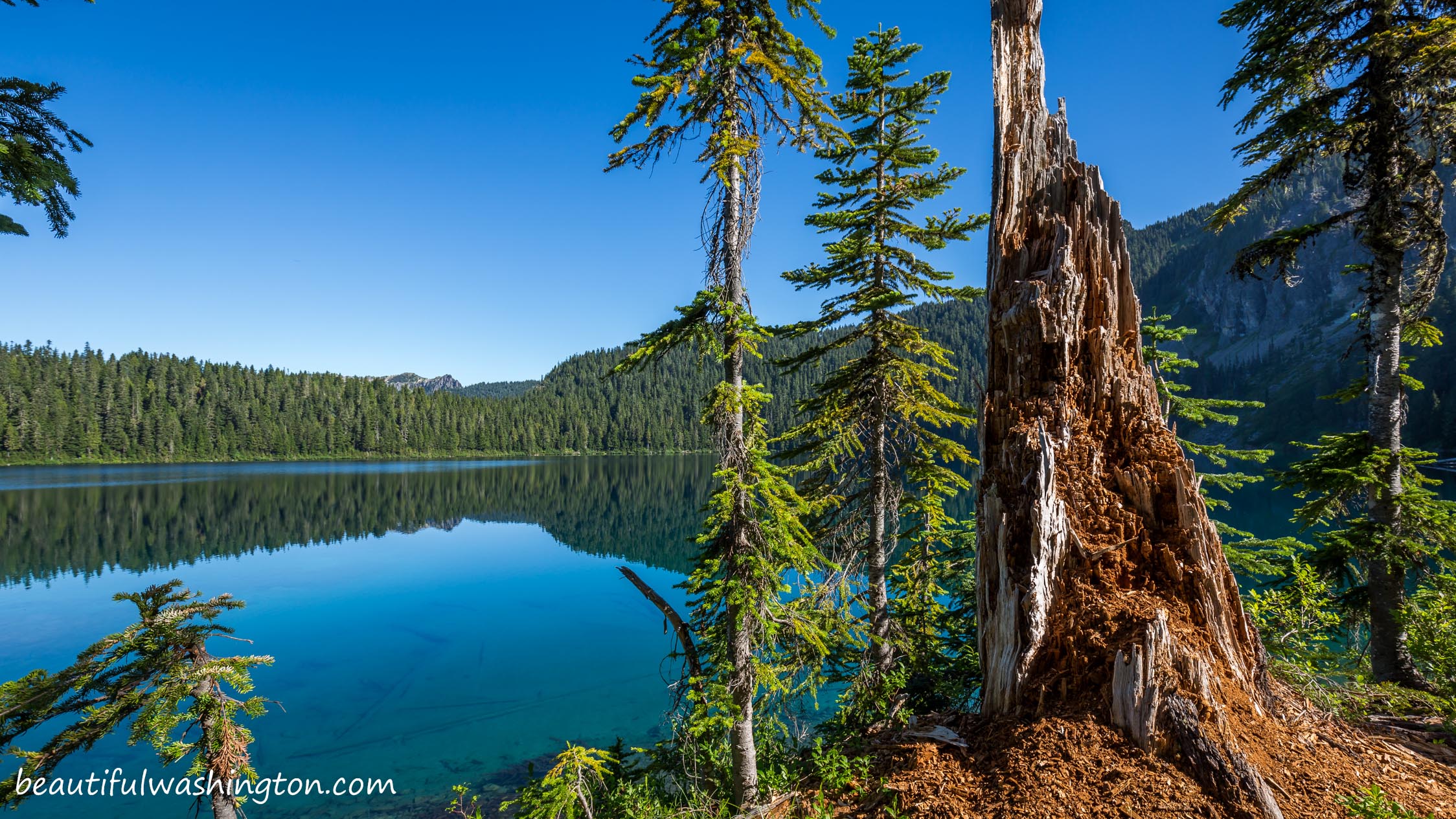
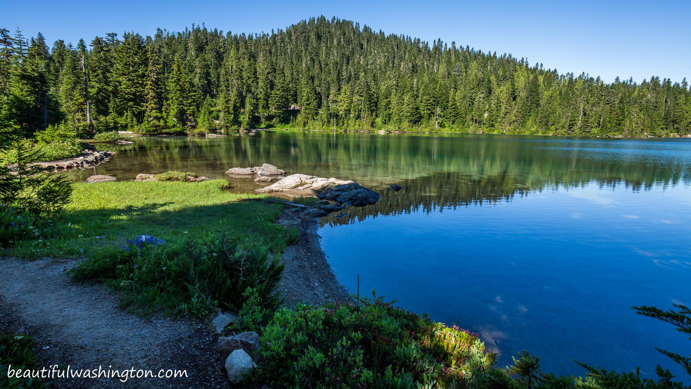
 Pictures below will take you on a virtual tour to the beautiful lake. Enjoy scenic views and gorgeous nature!!!
Mowich Lake is a glassy and beautiful lake which is nested in a glacial basin in the northwest corner of Mount Rainier National Park. Mowich Lake is the largest and the deepest in the park and is located at an elevation of 4,929 feet.
The lake got its’ name from Chinook language and it stands for “deer”. Mowich Lake is a gateway to gorgeous, stunning and breathtaking meadows and fragile lakes. Keep in mind that all the alpine meadows in the area are very fragile, it is recommended staying on the paths.

The Mowich Lake Area is accessible by a 17 miles unpaved road. This road is open from mid-June – beginning of July till mid-October.
There are three different campgrounds in the Mowich Lake Area. All of them have an elevation from 1.914 feet to 4,400 feet. All camp sites are reserved on a first-come first-served basis.
Mowich Lake has wonderful recreational possibilities for everyone. Campers and hikers will surely enjoy scenic trail. There are several beautiful and breathtaking day hikes. The trails that are found here can be enjoyed by everyone regardless of skill level.

The shortest trail in the region is the Carbon River Rain Forest Nature Trail, but is offers great views. The longest trail is Carbon Glacier Trail, which takes you closely to the Mount Rainier and its’ glacier. The length of this trail is 12 miles.
Wildlife here is abundant. There are more than 56 different species of animals and 229 types of birds.
Mowich Lake is open for campers all the year round, but remember that the road is closed.
From Mowich Lake hikers can take the Wonderland Trail, Eunice Lake, Tolmie Peak, Spray Park and Spray Falls. During your hike enjoy old-growth trees, creeks and waterfalls, cliffs and, of course, gorgeous alpine meadows with colored wildflowers.
From Mowich Lake Entrance:
Follow State Road 165 eastward for 6.5 miles to Mowich Lake Campground.
 Mowich Lake 1
Mowich Lake 1
Mowich Lake 1
 Mowich Lake 2
Mowich Lake 2
Mowich Lake 2
 Mowich Lake 3
Mowich Lake 3
Mowich Lake 3
 Mowich Lake 4
Mowich Lake 4
Mowich Lake 4
 Mowich Lake 5
Mowich Lake 5
Mowich Lake 5
 Mowich Lake 6
Mowich Lake 6
Mowich Lake 6
 Mowich Lake 7
Mowich Lake 7
Mowich Lake 7
 Mowich Lake 8
Mowich Lake 8
Mowich Lake 8
 Mowich Lake 9
Mowich Lake 9
Mowich Lake 9
 Mowich Lake 10
Mowich Lake 10
Mowich Lake 10
 Mowich Lake 11
Mowich Lake 11
Mowich Lake 11
 Mowich Lake 12
Mowich Lake 12
Mowich Lake 12
 Mowich Lake 13
Mowich Lake 13
Mowich Lake 13
 Mowich Lake 14
Mowich Lake 14
Mowich Lake 14
 Mowich Lake 15
Mowich Lake 15
Mowich Lake 15
 Mowich Lake 16
Mowich Lake 16
Mowich Lake 16
 Mowich Lake 17
Mowich Lake 17
Mowich Lake 17
 Mowich Lake 18
Mowich Lake 18
Mowich Lake 18
 Mowich Lake 19
Mowich Lake 19
Mowich Lake 19
 Mowich Lake 20
Mowich Lake 20
Mowich Lake 20
 Mowich Lake 21
Mowich Lake 21
Mowich Lake 21
 Mowich Lake 22
Mowich Lake 22
Mowich Lake 22
 Mowich Lake 23
Mowich Lake 23
Mowich Lake 23
 Mowich Lake 24
Mowich Lake 24
Mowich Lake 24
 Mowich Lake 25
Mowich Lake 25
Mowich Lake 25
In order to get the directions click on the link below:
Photo: Roman Khomlyak
Photo Editing: Alex Mandryko
Information: Marina Petrova
Leave your comment