Quote of the Month:
“Nature gives to every time and season some beauties of its own." - Charles Dickens
“Nature gives to every time and season some beauties of its own." - Charles Dickens
| Location: | Mt. Baker Area |
| Roundtrip of the trail: | 8 miles |
| Elevation Gain: | 1600 ft |
| Highest Point: | 5400 ft |
| GPS Coordinates: | 48°51'49.8"N 121°40'46.8"W |
| Season: | Late July- Mid-October |
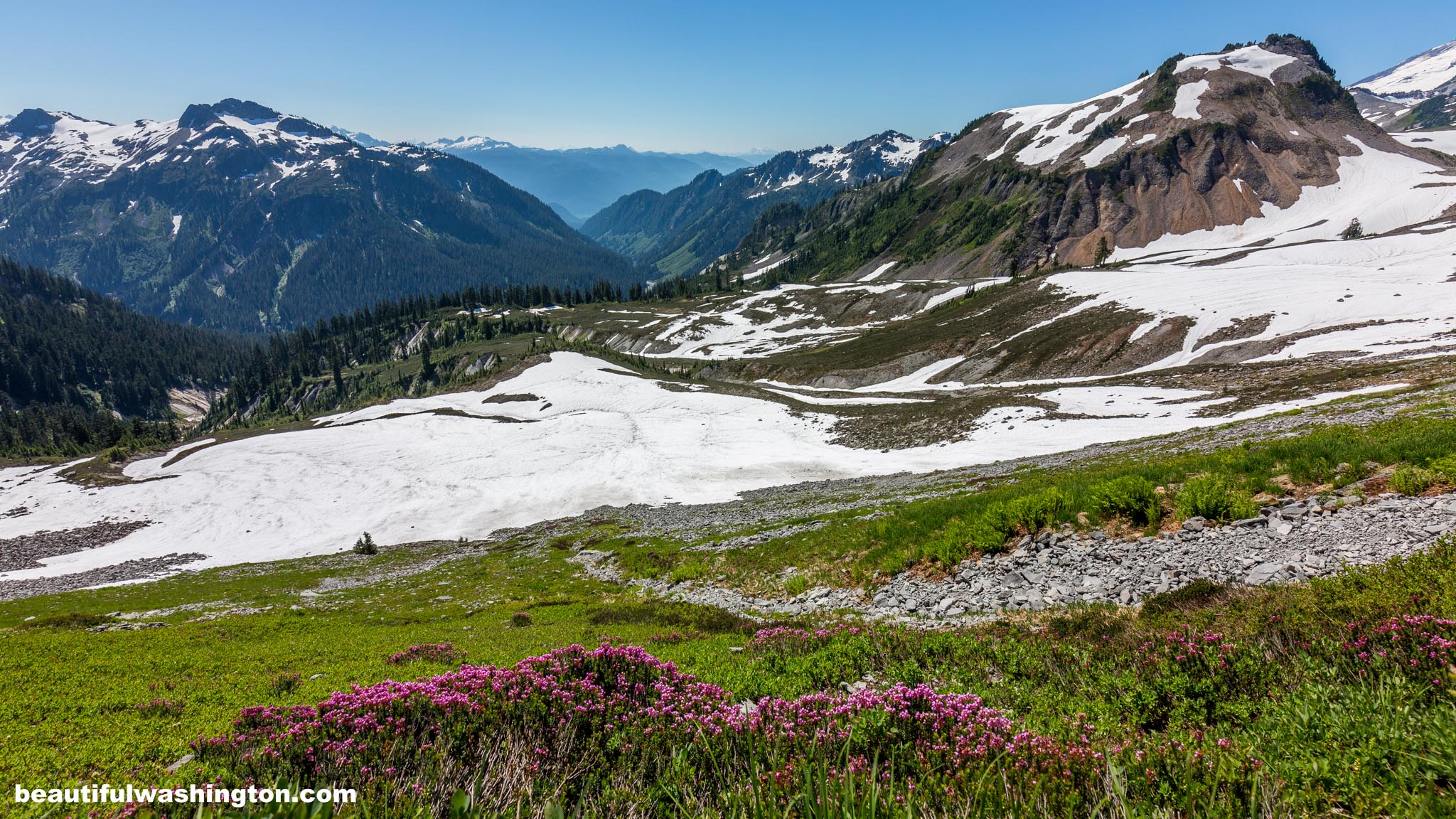
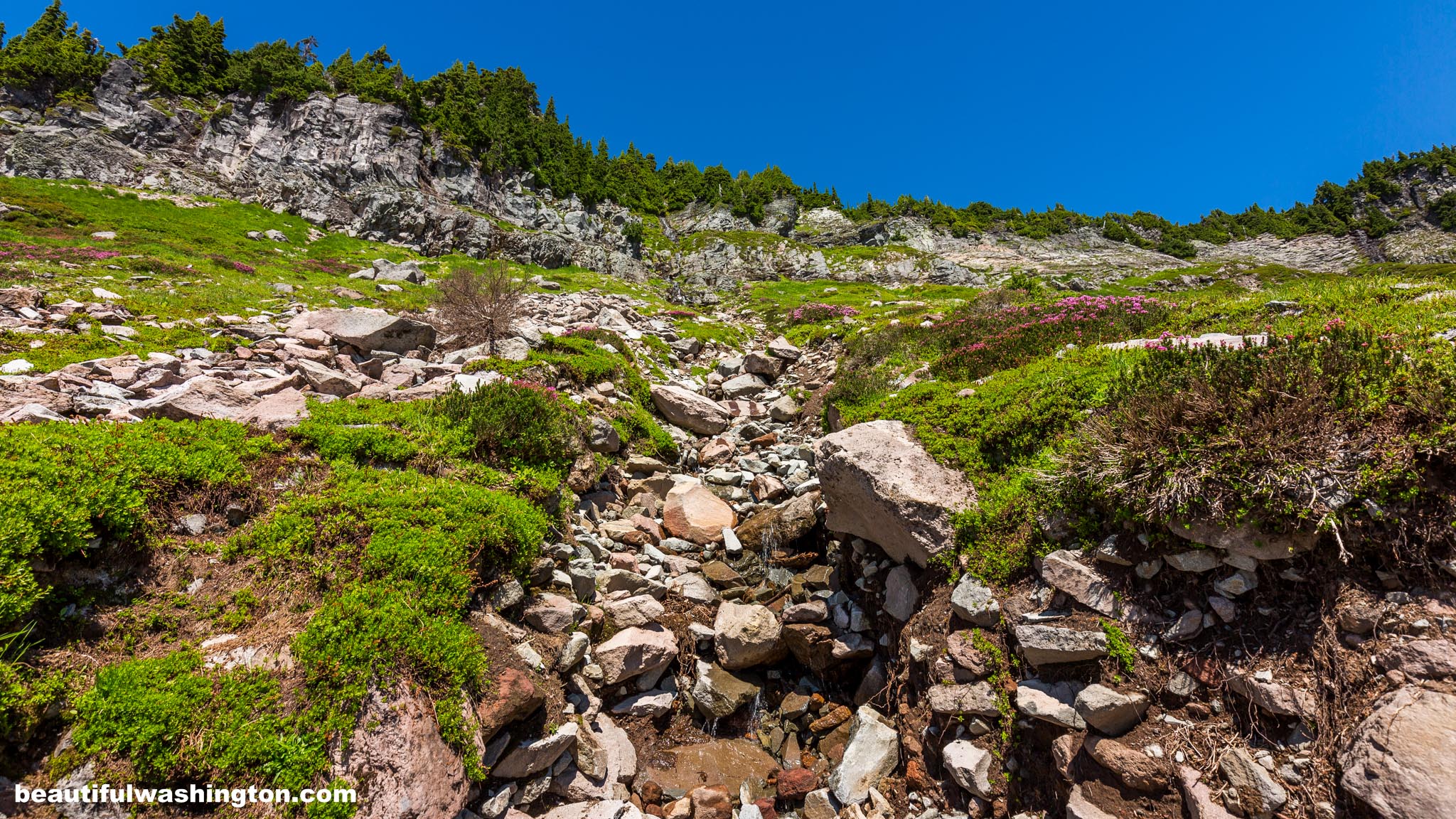
 Pictures below will take you on a virtual tour along the hike. enjoy perfect and gourgeous scenery!
The Chain Lakes and Heather Meadows are very popular among hikers, regardless of the fact that these territories are free from snow only three month a year. Mount Baker Highway mage this place even more accessible and popular. Civilian Conservation Corps also made a contribution into the development of the region. They constructed trails, bridges, cabins, etc.

It is indubitable, Chain Lakes and Heather Meadows are considered the most beautiful and scenic places in the region. Picturesque alpine lakes and meadows full of wildflowers, open ridges and various, but very scenic views of Mount Shuksan and Mount Baker.
The route that you choose may be either long or short. There are numerous choices to shorten the route, but it is recommended staying on the established trails.
The hike starts at the Bagley Lakes Trailhead and takes you to the Bagley Lakes. On your way, you will enjoy gorgeous views of Table Mountain. Take right, climb Herman Saddle and continue hiking to the Chain Lakes.

The first and the largest lake that tourists encounter is Iceberg Lake. Very often hikers encounter here fields covered with snow that sometimes never melt. It’s great to feel the breath of winter on a sunny summer day. From this lake hikers can take a small path that leads to Hayes and Arbuthnet Lakes, or continue their hike to the small, but very beautiful Mazama Lake. This little lake is nested in wonderful and picturesque meadow full of wildflowers.
And now the climbing begins again. At an elevation of 5200 ft. you will reach a pass between Table Mountain and Ptarmigan Ridge. With every step hikers enjoy the sense of freedom and views of snowfields that cover the mountain.

Turn left and continue going to the Artist Point parking lot. By the way, this is a great place to start your hike from.
Those who are not tired may extend their hike by taking Picture Lake Trail. It is not very long, only 0.5 miles, but the views are just perfect. The Mountain that is reflected in the waters of the lake! What a perfect picture! Enjoy!
Travel east on Mt. Baker Highway 542 to the road's end and the Mount Baker Ski area. Follow the signs to the upper parking lot and the Bagley Lakes trailhead.
 Chain Lakes Trail 78
Chain Lakes Trail 78
Chain Lakes Trail 78
 Chain Lakes Trail 1
Chain Lakes Trail 1
Chain Lakes Trail 1
 Chain Lakes Trail 2
Chain Lakes Trail 2
Chain Lakes Trail 2
 Chain Lakes Trail 3
Chain Lakes Trail 3
Chain Lakes Trail 3
 Chain Lakes Trail 4
Chain Lakes Trail 4
Chain Lakes Trail 4
 Chain Lakes Trail 5
Chain Lakes Trail 5
Chain Lakes Trail 5
 Chain Lakes Trail 6
Chain Lakes Trail 6
Chain Lakes Trail 6
 Chain Lakes Trail 7
Chain Lakes Trail 7
Chain Lakes Trail 7
 Chain Lakes Trail 8
Chain Lakes Trail 8
Chain Lakes Trail 8
 Chain Lakes Trail 9
Chain Lakes Trail 9
Chain Lakes Trail 9
 Chain Lakes Trail 10
Chain Lakes Trail 10
Chain Lakes Trail 10
 Chain Lakes Trail 11
Chain Lakes Trail 11
Chain Lakes Trail 11
 Chain Lakes Trail 12
Chain Lakes Trail 12
Chain Lakes Trail 12
 Chain Lakes Trail 13
Chain Lakes Trail 13
Chain Lakes Trail 13
 Chain Lakes Trail 14
Chain Lakes Trail 14
Chain Lakes Trail 14
 Chain Lakes Trail 15
Chain Lakes Trail 15
Chain Lakes Trail 15
 Chain Lakes Trail 16
Chain Lakes Trail 16
Chain Lakes Trail 16
 Chain Lakes Trail 17
Chain Lakes Trail 17
Chain Lakes Trail 17
 Chain Lakes Trail 18
Chain Lakes Trail 18
Chain Lakes Trail 18
 Chain Lakes Trail 19
Chain Lakes Trail 19
Chain Lakes Trail 19
 Chain Lakes Trail 20
Chain Lakes Trail 20
Chain Lakes Trail 20
 Chain Lakes Trail 21
Chain Lakes Trail 21
Chain Lakes Trail 21
 Chain Lakes Trail 22
Chain Lakes Trail 22
Chain Lakes Trail 22
 Chain Lakes Trail 23
Chain Lakes Trail 23
Chain Lakes Trail 23
 Chain Lakes Trail 24
Chain Lakes Trail 24
Chain Lakes Trail 24
 Chain Lakes Trail 25
Chain Lakes Trail 25
Chain Lakes Trail 25
 Chain Lakes Trail 26
Chain Lakes Trail 26
Chain Lakes Trail 26
 Chain Lakes Trail 27
Chain Lakes Trail 27
Chain Lakes Trail 27
 Chain Lakes Trail 28
Chain Lakes Trail 28
Chain Lakes Trail 28
 Chain Lakes Trail 29
Chain Lakes Trail 29
Chain Lakes Trail 29
 Chain Lakes Trail 30
Chain Lakes Trail 30
Chain Lakes Trail 30
 Chain Lakes Trail 31
Chain Lakes Trail 31
Chain Lakes Trail 31
 Chain Lakes Trail 32
Chain Lakes Trail 32
Chain Lakes Trail 32
 Chain Lakes Trail 33
Chain Lakes Trail 33
Chain Lakes Trail 33
 Chain Lakes Trail 34
Chain Lakes Trail 34
Chain Lakes Trail 34
 Chain Lakes Trail 35
Chain Lakes Trail 35
Chain Lakes Trail 35
 Chain Lakes Trail 36
Chain Lakes Trail 36
Chain Lakes Trail 36
 Chain Lakes Trail 37
Chain Lakes Trail 37
Chain Lakes Trail 37
 Chain Lakes Trail 38
Chain Lakes Trail 38
Chain Lakes Trail 38
 Chain Lakes Trail 39
Chain Lakes Trail 39
Chain Lakes Trail 39
 Chain Lakes Trail 40
Chain Lakes Trail 40
Chain Lakes Trail 40
 Chain Lakes Trail 41
Chain Lakes Trail 41
Chain Lakes Trail 41
 Chain Lakes Trail 42
Chain Lakes Trail 42
Chain Lakes Trail 42
 Chain Lakes Trail 43
Chain Lakes Trail 43
Chain Lakes Trail 43
 Chain Lakes Trail 44
Chain Lakes Trail 44
Chain Lakes Trail 44
 Chain Lakes Trail 45
Chain Lakes Trail 45
Chain Lakes Trail 45
 Chain Lakes Trail 46
Chain Lakes Trail 46
Chain Lakes Trail 46
 Chain Lakes Trail 47
Chain Lakes Trail 47
Chain Lakes Trail 47
 Chain Lakes Trail 48
Chain Lakes Trail 48
Chain Lakes Trail 48
 Chain Lakes Trail 49
Chain Lakes Trail 49
Chain Lakes Trail 49
 Chain Lakes Trail 50
Chain Lakes Trail 50
Chain Lakes Trail 50
 Chain Lakes Trail 51
Chain Lakes Trail 51
Chain Lakes Trail 51
 Chain Lakes Trail 52
Chain Lakes Trail 52
Chain Lakes Trail 52
 Chain Lakes Trail 53
Chain Lakes Trail 53
Chain Lakes Trail 53
 Chain Lakes Trail 54
Chain Lakes Trail 54
Chain Lakes Trail 54
 Chain Lakes Trail 55
Chain Lakes Trail 55
Chain Lakes Trail 55
 Chain Lakes Trail 56
Chain Lakes Trail 56
Chain Lakes Trail 56
 Chain Lakes Trail 57
Chain Lakes Trail 57
Chain Lakes Trail 57
 Chain Lakes Trail 58
Chain Lakes Trail 58
Chain Lakes Trail 58
 Chain Lakes Trail 59
Chain Lakes Trail 59
Chain Lakes Trail 59
 Chain Lakes Trail 60
Chain Lakes Trail 60
Chain Lakes Trail 60
 Chain Lakes Trail 61
Chain Lakes Trail 61
Chain Lakes Trail 61
 Chain Lakes Trail 62
Chain Lakes Trail 62
Chain Lakes Trail 62
 Chain Lakes Trail 63
Chain Lakes Trail 63
Chain Lakes Trail 63
 Chain Lakes Trail 64
Chain Lakes Trail 64
Chain Lakes Trail 64
 Chain Lakes Trail 65
Chain Lakes Trail 65
Chain Lakes Trail 65
 Chain Lakes Trail 66
Chain Lakes Trail 66
Chain Lakes Trail 66
 Chain Lakes Trail 67
Chain Lakes Trail 67
Chain Lakes Trail 67
 Chain Lakes Trail 68
Chain Lakes Trail 68
Chain Lakes Trail 68
 Chain Lakes Trail 69
Chain Lakes Trail 69
Chain Lakes Trail 69
 Chain Lakes Trail 70
Chain Lakes Trail 70
Chain Lakes Trail 70
 Chain Lakes Trail 71
Chain Lakes Trail 71
Chain Lakes Trail 71
 Chain Lakes Trail 72
Chain Lakes Trail 72
Chain Lakes Trail 72
 Chain Lakes Trail 73
Chain Lakes Trail 73
Chain Lakes Trail 73
 Chain Lakes Trail 74
Chain Lakes Trail 74
Chain Lakes Trail 74
 Chain Lakes Trail 75
Chain Lakes Trail 75
Chain Lakes Trail 75
 Chain Lakes Trail 76
Chain Lakes Trail 76
Chain Lakes Trail 76
 Chain Lakes Trail 77
Chain Lakes Trail 77
Chain Lakes Trail 77
In order to get the directions click on the link below:
Photo: Roman Khomlyak
Photo Editing: Alex Mandryko
Information: Marina Petrova
Leave your comment